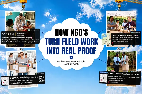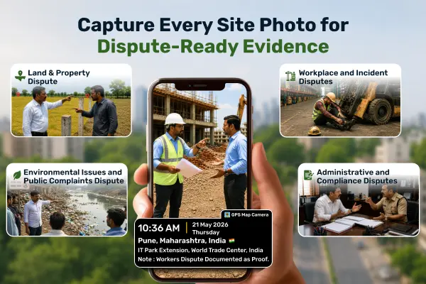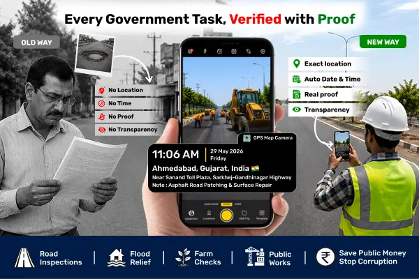
How Does GPS Map Camera Make Government Work More Honestly?

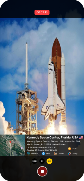
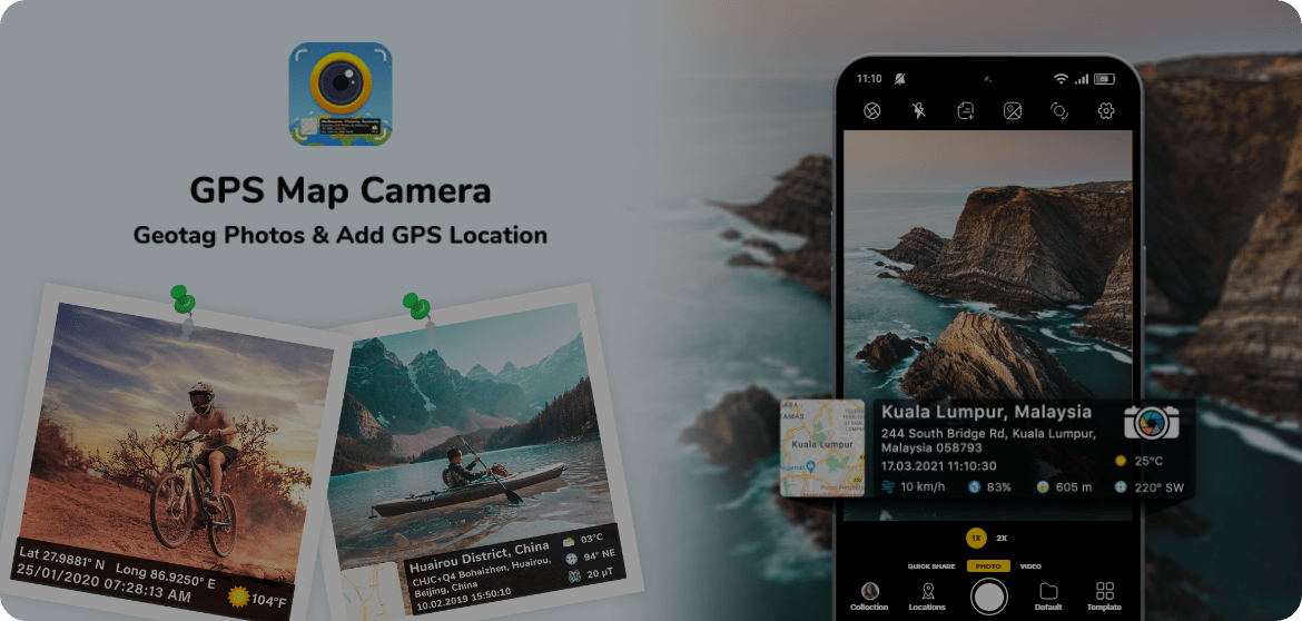
Automatically stamps each photo with accurate GPS location, address, date, time, and map details. Anyone can use it as trusted evidence.


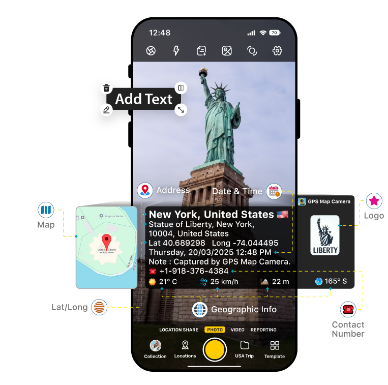
From geotagging a photo to sharing a report, every feature keeps your photos consistent and reliable.
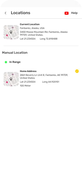
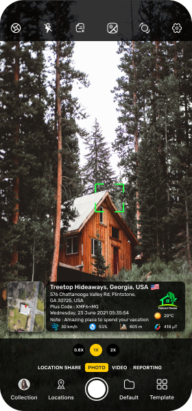
Stamp every photo with GPS coordinates, address, date, and time automatically for precise documentation.
Stamp details come from a secure server, so you can trust every detail related to address, date, and time.
Address, date, and time cannot be changed or edited, keeping your photos safe from tampering.
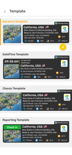
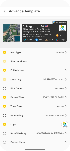
Different jobs need different details. Choose a ready-made template for stamps, nothing to add from scratch.
Adjust font style, stamp color, size, and position to make every report look exactly the way you want.
Add compass, altitude, weather, country flag, brand logo, contact info, and more to your photo stamps.
Choose Normal, Satellite, Terrain, or Hybrid maps and adjust the map scale to clearly show the photo's location.
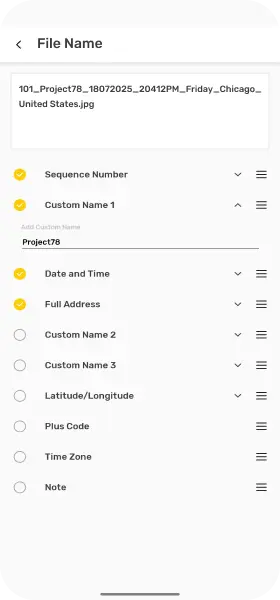
Auto-name files using the address, lat/long details, date, and time, so photos are easier to search and sort.
Choose your preferred folder and automatically save captured photos there, keeping your work organized.
Create geotagged reports or before-and-after comparisons directly in-app, then export as a PDF or image.
Every photo gets a QR code with its GPS location. Scan the code anytime to start navigation.
Share geotagged photos instantly on WhatsApp, Facebook, Instagram, X, Email or any other platform.

Provide tamper-proof photo evidence that supports accurate, transparent reporting — trusted by public and private stakeholders.

Keep project photos that are geo-tagged and time-stamped with project name and note. From site inspections to progress updates.
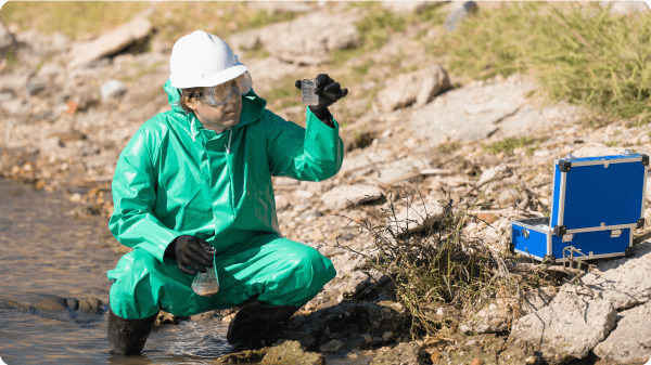
Capture geo-stamped field evidence with date, time, and location that holds up in reports and audits.
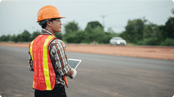
Capture on-site progress with photos, creating a trusted record for reporting.

Capture property photos stamped with verified location, date, and time — perfect for reports, listings, and client trust.
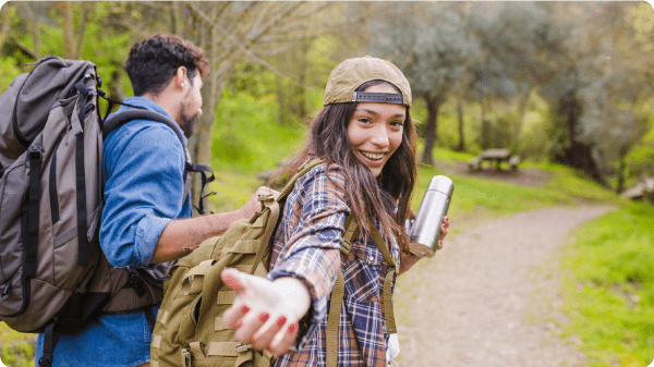
Save your journeys with real-time location, weather, and map overlays.

Wherever you go, prove you were there. Your photos show exactly when and where they were taken—no editing needed.
See how GPS Map Camera’s powerful interface makes your images more than just pictures—each one is an authentic, accurate snapshot with automatic stamps.

We believe in transparency. Here are answers to the questions our users ask most.
Explore how people across industries use our app to get accurate, authentic photo documentation.
Super helpful for logging my location and time while working off-site. Plus the file naming is a lifesaver!
I love how my photos show exactly where and when they were taken. It makes my posts more real — and my memories more organized.
Clients trust me more when I send geo-stamped images. It’s added professionalism to my entire work process.
Exactly what I needed! Now every project photo I take includes GPS, time, and location. It’s become a daily part of my workflow.