
Most disputes start when facts are missing, or site conditions cannot be checked. Whether the issue is about land, property, construction, public complaints, or workplace incidents, every dispute needs the same thing — clear answers about what happened, where, and when. Normal photos rarely give all this. GPS Map Camera fixes the gap by adding location and date-time on each image, so every photo works like a verified field record.
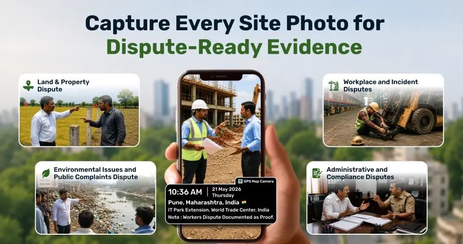
1. Land and Property Disputes
Most land cases involve boundaries, encroachments, or land usage. GPS Map Camera saves the disputed area with exact coordinates and date. The image directly links the proof to the right plot, which makes the review faster and clearer.
2. Construction and Infrastructure Disputes
Such cases come up due to delay, poor quality, or wrong progress claims. GPS Map Camera captures site stages with location and time. These photos build a real timeline and show the true site condition on the recorded date.
3. Environmental Issues and Public Complaints
Issues like waste dumping, blockage, or site misuse need on-ground proof. GPS Map Camera marks the exact spot and time of the observation. This helps officers act fast without arguing about the location.
4. Workplace and Incident Disputes
Workplace incidents need clear proof of the area and surrounding conditions. With the GPS Map Camera, staff can capture site photos that already include location and time. This adds factual support during internal reviews and reduces dependence on verbal claims.
5. Administrative and Compliance Disputes
During inspections, audits, or compliance checks, small confusion can grow into a dispute. GPS-tagged photos show clear site conditions with verified date and place, which builds stronger records for review.
Why Location and Time Proof Matter
Disputes increase when details stay unclear. GPS-tagged photos offer fixed information that is hard to challenge. They:
- Tie proof to a specific site
- Confirm correct timelines
- Cut down long explanations
- Bring more clarity to reviews
The result is fair and easy dispute handling.
Easy to Use in Existing Workflow
GPS Map Camera does not change any process. It only improves photo proof. The same images can be attached to reports, case files, or reviews directly.
Summary
GPS Map Camera makes dispute records stronger with location and time on every photo. From land and construction issues to environmental and workplace cases, it builds clear, trusted, and reliable evidence.