Advance Stamp
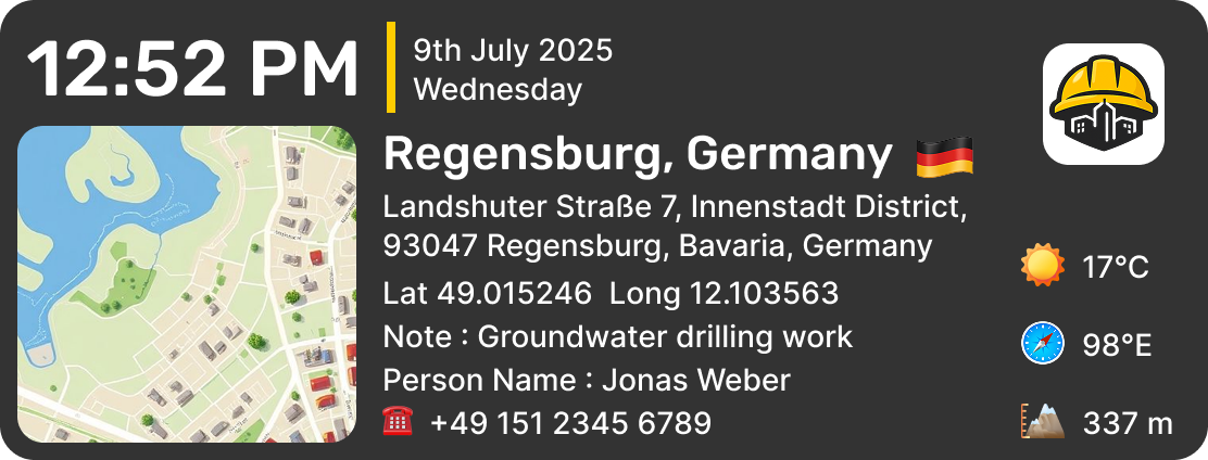
Capture photos with "Advance Stamp" — it works like a powerful time stamp camera, delivering a complete overview of your photo's context with a live map preview and detailed data. It includes the full address with Plus Code, GPS location with latitude and longitude coordinates, date, time with GMT offset, temperature, compass direction, altitude, humidity, pressure, magnetic field, phone number, person name, and a custom note — all displayed alongside a clear map view for instant visual reference.
💼 Why it's useful:
- Detailed site inspections and technical surveys
- Professional documentation with complete environmental data
- Fieldwork requiring weather and location proof
- Engineering, mining, and research reporting
- Tracking assets, deliveries, and on-site visits
DateTime Stamp
Document every record with "DateTime Stamp" — works like a reliable timestamp camera and geotag camera, automatically embedding the exact date, time, full address, and GPS coordinates onto your photos. It includes bold date and time with real-time updates, the day of the week, a complete address covering street, area, city, state, and country, along with precise latitude and longitude coordinates, all in a clean, structured layout.
💼 Why it’s useful:
- Field work and site visits
- Time-based proof and documentation
- Location verification for delivery, inspections, and surveys
- Travel records with exact details
- Real estate, construction, and reporting
Scan Location Stamp
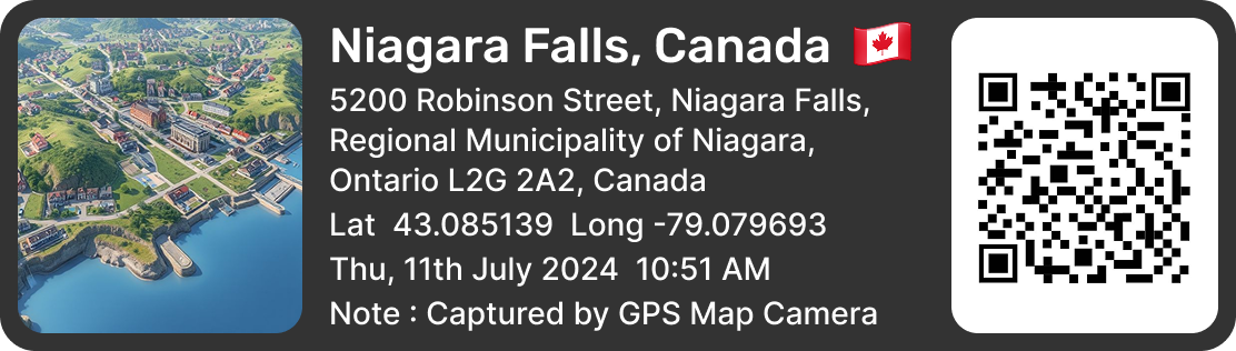
Capture photos with "Scan Location Template," it adds a smart, modern layer to your field documentation with a scannable QR code that instantly opens the captured location on the map. It includes a map preview, full address with city, state, and country, latitude and longitude coordinates, along with the date, time, and day of the week — making location sharing quick, accurate, and easy to verify.
💼 Why it's useful:
- Instant location sharing through QR scan
- Delivery, logistics, and pickup confirmations
- Real estate listings and property visits
- Events, meetups, and on-site coordination
- Tourism, travel, and business documentation
Classic Stamp
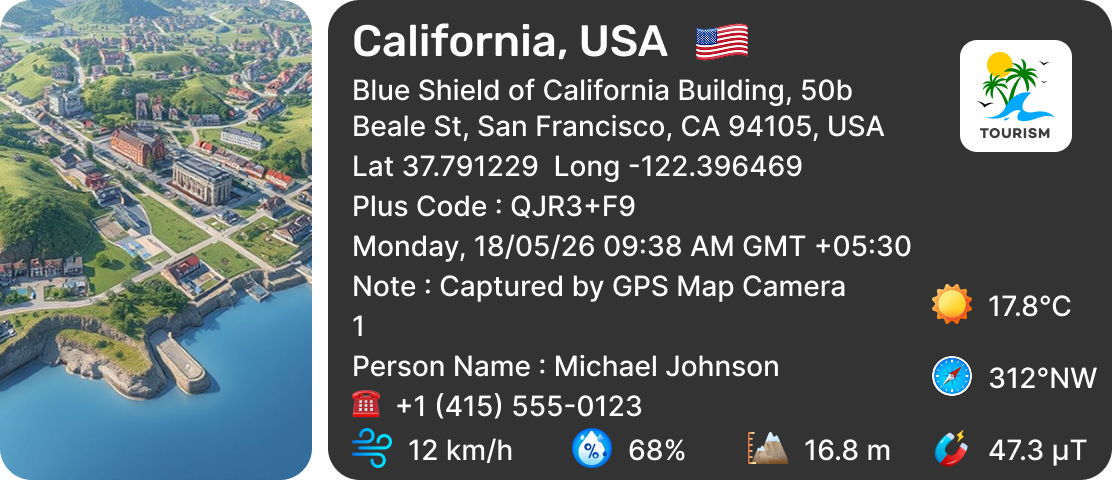
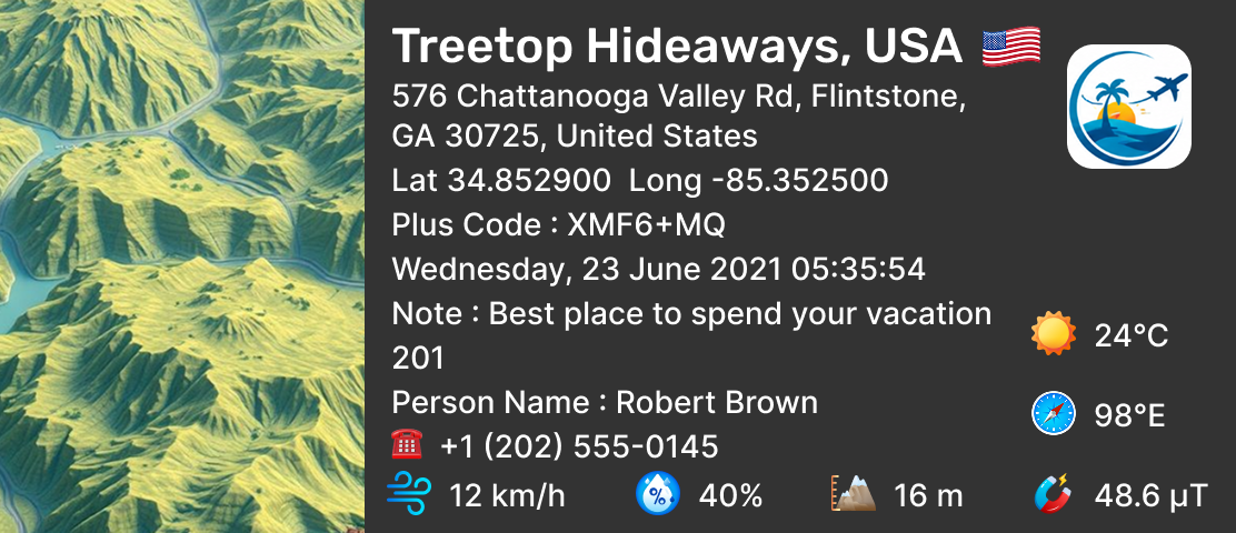
Capture every moment with clear details and real-world context. This "Classic Stamp" offers a timeless and well-balanced layout that combines a satellite map view with essential location and environmental details. It includes the full address with Plus Code, latitude and longitude coordinates, date, time with GMT offset, temperature, compass direction, altitude, humidity, pressure, magnetic field, phone number, person name, and a custom note — all neatly arranged beside a satellite map for a clear real-world perspective.
💼 Why it's useful:
- Perfect for everyday fieldwork and routine site visits
- Reliable for trusted location and time-based documentation
- Useful for delivery, inspection, and survey verification
- Great for capturing travel memories with complete details
- Ideal for real estate, agriculture, and construction reporting
Navigation Compass Stamp
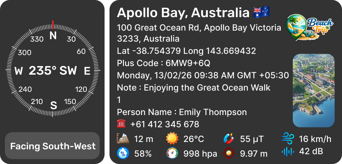
Document every field record with "Navigation Compass Stamp" — features a clear compass dial that shows your exact facing direction, along with complete location and environmental data. It includes the full address with Plus Code, latitude and longitude coordinates, date, time with GMT offset, azimuth and bearing, AQI reading, altitude, temperature, magnetic field, wind speed, humidity, pressure, sound level, phone number, person name, and a custom note.
💼 Why it's useful:
- Navigation, trekking, and outdoor exploration
- Direction-based fieldwork and surveys
- Marine, aviation, and geological studies
- Tracking orientation during inspections and mapping
- Defense, rescue, and research operations
Reporting Stamp
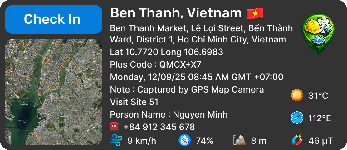
Capture field reports with "Reporting Stamp" — built for structured work reporting with a dedicated Check In button that marks your attendance or site arrival instantly. It combines a satellite map view with full address details, Plus Code, latitude and longitude coordinates, date, time with GMT offset, temperature, compass direction, altitude, humidity, pressure, magnetic field, phone number, person name, and a custom note.
💼 Why it's useful:
- Employee attendance and check-in tracking
- Daily site reporting and task verification
- Field staff, supervisors, and team monitoring
- Proof of visit in audits and inspections
- Sales, service, and on-duty documentation