
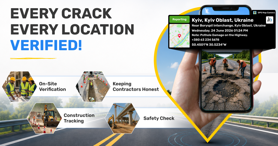
A road repair gets billed, but in real life, the work was never carried out. Such cases are not rare. Public departments lose huge sums every year due to fake reports, hidden defects, and contractors charging for jobs they never did. GPS Map Camera shuts this gap by turning inspection photos into reliable, location-backed proof.
1. Why Stamped Photos Matter on Highways
Highway officers cover long routes to check road surfaces, bridges, side rails, drains, and signs. A plain photo only shows the damage — it cannot prove the place or the day. GPS Map Camera adds exact coordinates, area name, and time on every shot, so each photo becomes its own record.
2. Real Issues It Solves
GPS Map Camera addresses critical problems that plague highway inspections:
- Fake inspection reports without actual site visits
- Contractor fraud with false repair claims
- Delayed emergency response to road hazards
- Missing documentation for bridge and structure safety
- Unverified construction progress reports
3. Confirming the Officer Was on Site
Some "inspections" never leave the office. GPS Map Camera prevents this since every photo carries an auto-stamped location and time. One department noticed nearly 30% of reports had no actual visit — the issue dropped sharply within two months.
4. Keeping Contractors Honest
Damages like cracks, potholes, or broken rails need exact spot details. With matching before-and-after photos, repair claims can be checked easily.
5. Quicker Action in Emergencies
For fallen trees, road damage, or waterlogging, time is critical. GPS-tagged photos guide repair teams to the spot. Response time gets reduced by nearly half, and traffic units share correct updates.
6. Bridge and Structure Safety Checks
Bridges need regular checks for cracks, rust, and deck wear. GPS-stamped images meet compliance needs and act as legal protection in future incidents.
7. Watching Construction Stage by Stage
For new highway projects, daily progress and material use can be captured. Payments at each stage get easier because every step has visual backup tied to a real location.
8. Highway-Friendly Features
- Auto location and time stamp on every photo
- Kilometre marker integration
- Offline use for low-signal zones
- Custom labels like "urgent" or "minor"
- Real-time supervisor dashboard
9. Easy to Roll Out
No special tools or training needed. Officers install the app, click photos as usual, and upload them.
Final Word
Roads carry millions of lives every day. GPS Map Camera offers honest, fact-based proof that no one can twist. Cleaner records mean safer roads and stronger public trust.